Bridgeport State Park
Bridgeport State Park | ||
 Der Bridgeport State Park im Juni 2015 | ||
| Lage | Okanogan County, Washington, USA | |
| Fläche | 2,52 km² | |
| Geographische Lage | 48° 1′ N, 119° 37′ W48.014166666667-119.60944444444Koordinaten: 48° 0′ 51″ N, 119° 36′ 34″ W | |
| ||
| Einrichtungsdatum | 1955 | |
| Verwaltung | Washington State Parks and Recreation Commission | |
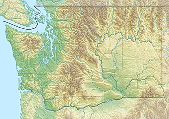
Der Bridgeport State Park ist ein Naherholungsgebiet, etwa 2 mi (3,2 km) östlich von Bridgeport im US-Bundesstaat Washington am Nordufer des Rufus Woods Lake gelegen, des Stausees, der durch den Chief Joseph Dam am Columbia River entstanden ist.[1] Der State Park wurde in Zusammenarbeit der Washington State Parks und des United States Army Corps of Engineers nach der Fertigstellung des Dammes 1955 eingerichtet.[2] Die 25-jährige Pacht des Parkes wurde 1990 und erneut 2015 verlängert.[3] Der Park nimmt eine Fläche von 622 Acres (252 ha) ein, worauf 7.500 ft (ca. 2.300 m) Ufer, Campingplätze, 4 mi (6,4 km) Wanderwege und Einrichtungen für das Bootfahren, Angeln, Schwimmen und Golfen unterhalten werden.[4]
Einzelnachweise
- ↑ Bridgeport State Park. U.S. Army Corps of Engineers, abgerufen am 17. Februar 2016.
- ↑ State considers future of Bridgeport park In: Omak-Okanogan County Chronicle, 18. März 2014. Abgerufen am 5. November 2018
- ↑ Commission seeks new lease In: Omak-Okanogan County Chronicle, 22. April 2014. Abgerufen am 5. November 2018
- ↑ Bridgeport State Park. Washington State Parks and Recreation Commission, abgerufen am 17. Februar 2016.
Weblinks
- Bridgeport State Park. In: Geographic Names Information System. United States Geological Survey, United States Department of the Interior; abgerufen im 1. Januar 1 (englisch).
- Bridgeport State Park Washington State Parks and Recreation Commission (englisch)
- Karte des Bridgeport State Park auf der Website der Washington State Parks and Recreation Commission (englisch)


